File:Harbourside - Geograph - 3629814.jpg
Jump to navigation
Jump to search

No higher resolution available.
Harbourside_-_Geograph_-_3629814.jpg (640 × 480 pixels, file size: 134 KB, MIME type: image/jpeg)
| |||||||||||||||||||||||||
|
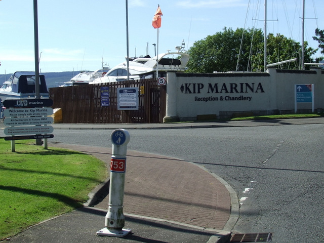
Galleries | NCN753 | ||
File history
Click on a date/time to view the file as it appeared at that time.
| Date/Time | Thumbnail | Dimensions | User | Comment | |
|---|---|---|---|---|---|
| current | 20:24, 11 April 2021 | | 640 × 480 (134 KB) | Tam nugent (talk | contribs) | National Cycle Network Route 753 passes the entrance to Kip marina. This is the end of a traffic-free section, cyclists must join the road at this point. |
File usage
There are no pages that use this file.