File:Harlech level crossing - Geograph - 1067720.jpg
Jump to navigation
Jump to search

No higher resolution available.
Harlech_level_crossing_-_Geograph_-_1067720.jpg (640 × 480 pixels, file size: 157 KB, MIME type: image/jpeg)
| |||||||||||||||||||||||||
|
Galleries | A496 | Ffordd Arfordirol | Harlech | ||
File history
Click on a date/time to view the file as it appeared at that time.
| Date/Time | Thumbnail | Dimensions | User | Comment | |
|---|---|---|---|---|---|
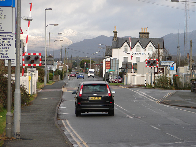
| current | 18:41, 21 March 2010 | | 640 × 480 (157 KB) | Jeni (talk | contribs) | '''Harlech level crossing'''<br/>The level crossing is at the very east of the square. The snow-covered peaks of Snowdonia can be seen on the left. |
File usage
The following 3 pages use this file: