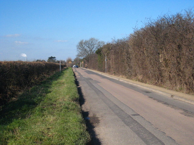
Harmonsdsworth Lane, looking west This view has changed little over the last 50 or more years. Before the development which occurred in association with nearby Heathrow Airport and the general urban sprawl around London this was a market gardening area with country lanes connecting rural villages such as Sipson and Harmondsworth, as does this road.
'''Harmonsdsworth Lane, looking west'''<br/>This view has changed little over the last 50 or more years. Before the development which occurred in association with nearby Heathrow Airport and the general urban sprawl around London this was a market garden
File usage
There are no pages that use this file.
Metadata
This file contains additional information, probably added from the digital camera or scanner used to create or digitise it.
If the file has been modified from its original state, some details may not fully reflect the modified file.
