File:Hassocky Lane, Temple Normanton - Geograph - 1688298.jpg
Jump to navigation
Jump to search

No higher resolution available.
Hassocky_Lane,_Temple_Normanton_-_Geograph_-_1688298.jpg (640 × 480 pixels, file size: 69 KB, MIME type: image/jpeg)
| |||||||||||||||||||||||||
|
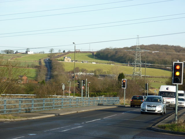
Galleries | B6425 | S2 | Traffic Signals | ||
File history
Click on a date/time to view the file as it appeared at that time.
| Date/Time | Thumbnail | Dimensions | User | Comment | |
|---|---|---|---|---|---|
| current | 13:22, 12 April 2010 | | 640 × 480 (69 KB) | Bob@romiley1 (talk | contribs) | '''Hassocky Lane, Temple Normanton'''<br/>The bridge in the foreground carries Hassocky Lane (B6425) over the Hasland Bypass (A617 Chesterfield to M1 Jct.29) |
File usage
The following 3 pages use this file: