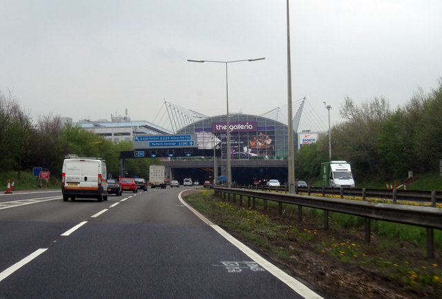
File:Hatfield Tunnel - Geograph - 1253851.jpg
Jump to navigation
Jump to search

No higher resolution available.
Hatfield_Tunnel_-_Geograph_-_1253851.jpg (640 × 434 pixels, file size: 62 KB, MIME type: image/jpeg)
| |||||||||||||||||||||||||
|
Galleries | A1(M) | Hatfield Tunnel | D3M | Gantry Sign | Rotating Prism Sign | Oldings Corner | ||
File history
Click on a date/time to view the file as it appeared at that time.
| Date/Time | Thumbnail | Dimensions | User | Comment | |
|---|---|---|---|---|---|
| current | 02:18, 12 November 2009 | | 640 × 434 (62 KB) | Jeni (talk | contribs) | {{Information |description = Hatfield Tunnel |day = 14 |month = 04 |year = 2009 |photographer = © Copyright [http://www.geograph.org.uk/profile/20422?a=B.+Tegala B. Tegala] and licensed for reuse under [http://creativecommons.org |
File usage
The following 4 pages use this file: