File:Hatton of Fintray bridge (C) John Allan - Geograph - 331426.jpg
Jump to navigation
Jump to search

No higher resolution available.
Hatton_of_Fintray_bridge_(C)_John_Allan_-_Geograph_-_331426.jpg (640 × 425 pixels, file size: 298 KB, MIME type: image/jpeg)
| |||||||||||||||||||||||||
|
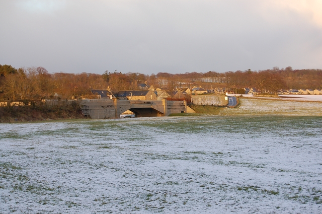
Galleries | B979 | Hatton Bridge | ||
File history
Click on a date/time to view the file as it appeared at that time.
| Date/Time | Thumbnail | Dimensions | User | Comment | |
|---|---|---|---|---|---|
| current | 17:45, 31 October 2014 | | 640 × 425 (298 KB) | Jeni (talk | contribs) | '''Hatton of Fintray bridge (C) John Allan '''<br/>Over the River Don. |
File usage
The following page uses this file:
_John_Allan_-_Geograph_-_331426.jpg&oldid=390121)