File:Heading for Dublin, Belfast and Dungannon - Geograph - 521832.jpg
Jump to navigation
Jump to search

No higher resolution available.
Heading_for_Dublin,_Belfast_and_Dungannon_-_Geograph_-_521832.jpg (640 × 480 pixels, file size: 62 KB, MIME type: image/jpeg)
| |||||||||||||||||||||||||
|
Galleries | A5 (Northern Ireland) | A505 (Northern Ireland) | T3 (Northern Ireland) | Omagh | Advance Direction Sign | T10 (Northern Ireland) | Crevenagh Road Roundabout | ||
File history
Click on a date/time to view the file as it appeared at that time.
| Date/Time | Thumbnail | Dimensions | User | Comment | |
|---|---|---|---|---|---|
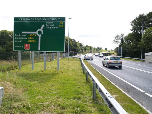
| current | 14:16, 16 June 2010 | | 640 × 480 (62 KB) | Si404 (talk | contribs) | '''Heading for Dublin, Belfast and Dungannon'''<br/>Pictured at the Omagh through-pass and you can take a left turn to go into the town along the Crevenagh Road. |
File usage
The following 7 pages use this file: