File:Heading for Kent - Geograph - 396060.jpg
Jump to navigation
Jump to search

No higher resolution available.
Heading_for_Kent_-_Geograph_-_396060.jpg (640 × 426 pixels, file size: 95 KB, MIME type: image/jpeg)
| |||||||||||||||||||||||||
|
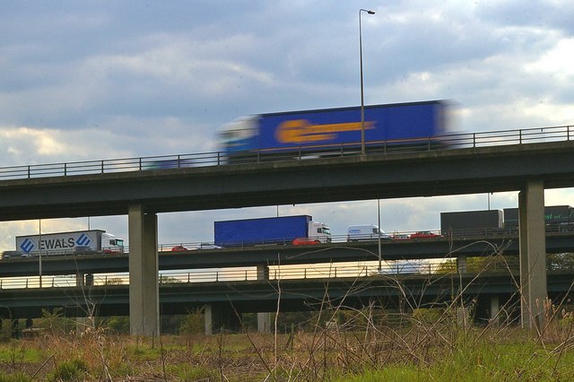
Galleries | A282 | Mar Dyke Interchange | ||
File history
Click on a date/time to view the file as it appeared at that time.
| Date/Time | Thumbnail | Dimensions | User | Comment | |
|---|---|---|---|---|---|
| current | 10:30, 20 May 2010 | | 640 × 426 (95 KB) | Abeaton (talk | contribs) | '''Heading for Kent'''<br/>This is part of the A13/M25 Junction as it passes over the Mardyke River Valley the fast moving truck is on the slip road to the QE2 Bridge approach. |
File usage
The following 4 pages use this file: