File:Helland Bridge - Geograph - 5676260.jpg
Jump to navigation
Jump to search

No higher resolution available.
Helland_Bridge_-_Geograph_-_5676260.jpg (640 × 427 pixels, file size: 117 KB, MIME type: image/jpeg)
| |||||||||||||||||||||||||
|
Galleries | Helland Bridge | Pictures from Geograph | ||
File history
Click on a date/time to view the file as it appeared at that time.
| Date/Time | Thumbnail | Dimensions | User | Comment | |
|---|---|---|---|---|---|
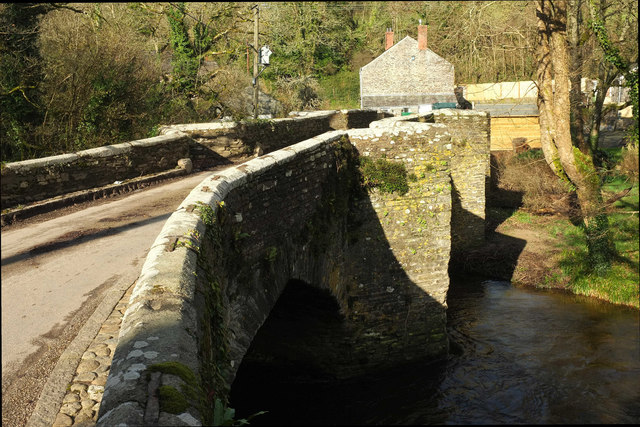
| current | 18:22, 20 December 2020 | | 640 × 427 (117 KB) | C2r (talk | contribs) | '''Helland Bridge''' The listed bridge crosses the River camel, which is here the parishboundary between Helland (this side) and St Mabyn, and there are two listed building descriptions, one for each parish - nothing very unusual in that. What is odd is that the Helland entry https://www.historicengland.org.uk/listing/the-list/list-entry/1327910 grades this at I, while St Mabyn https://www.historicengland.org.uk/listing/the-list/list-entry/1327947 has it as grade II*. Doubtless one of them is... |
File usage
The following 2 pages use this file: