File:High-tide causeway (C) Jonathan Wilkins - Geograph - 1443273.jpg
Jump to navigation
Jump to search

No higher resolution available.
High-tide_causeway_(C)_Jonathan_Wilkins_-_Geograph_-_1443273.jpg (640 × 480 pixels, file size: 88 KB, MIME type: image/jpeg)
| |||||||||||||||||||||||||
|
Galleries | R374 | Wild Atlantic Way | ||
File history
Click on a date/time to view the file as it appeared at that time.
| Date/Time | Thumbnail | Dimensions | User | Comment | |
|---|---|---|---|---|---|
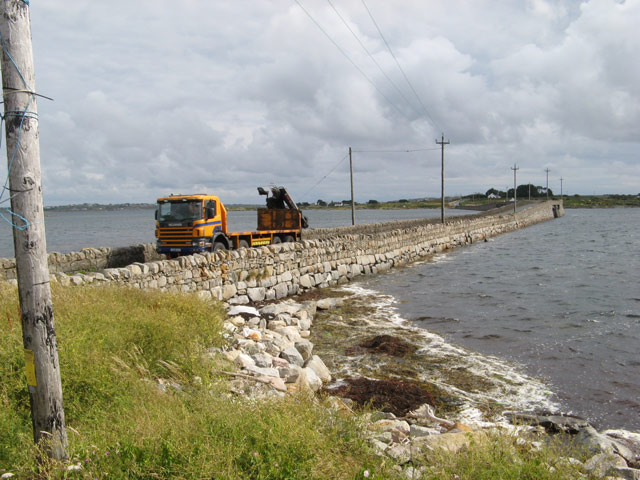
| current | 08:53, 10 August 2013 | | 640 × 480 (88 KB) | Viator (talk | contribs) | The causeway and bridge linking Lettermore to Gorumna Island. The road is the R374, and is wide enough for two ordinary cars, but not large vehicles, to pass. |
File usage
The following 2 pages use this file:
_Jonathan_Wilkins_-_Geograph_-_1443273.jpg&oldid=507405)