File:High Bridge - Geograph - 1645830.jpg
Jump to navigation
Jump to search

No higher resolution available.
High_Bridge_-_Geograph_-_1645830.jpg (640 × 480 pixels, file size: 85 KB, MIME type: image/jpeg)
| |||||||||||||||||||||||||
|
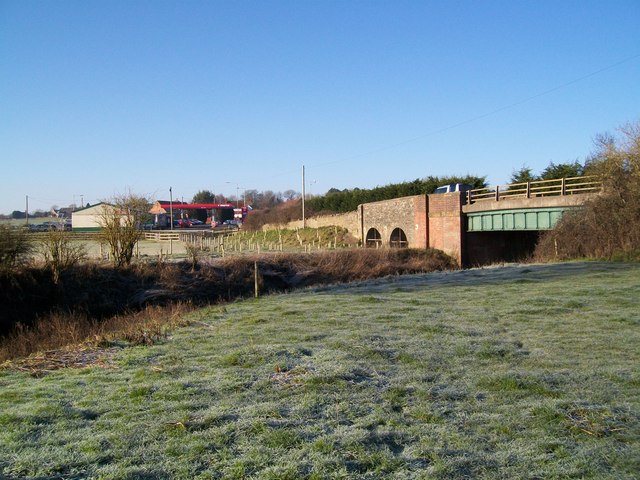
Galleries | A30 | High Bridge (Dorset) | Pictures from Geograph | Petrol station | ||
File history
Click on a date/time to view the file as it appeared at that time.
| Date/Time | Thumbnail | Dimensions | User | Comment | |
|---|---|---|---|---|---|
| current | 17:21, 10 May 2010 | | 640 × 480 (85 KB) | Bob@romiley1 (talk | contribs) | '''High Bridge'''<br/>High Bridge carries the A30 over the River Stour between West and East Stour. |
File usage
The following 2 pages use this file: