File:High Street (C) P L Chadwick - Geograph - 2164292.jpg
Jump to navigation
Jump to search

No higher resolution available.
High_Street_(C)_P_L_Chadwick_-_Geograph_-_2164292.jpg (640 × 480 pixels, file size: 69 KB, MIME type: image/jpeg)
| |||||||||||||||||||||||||
File history
Click on a date/time to view the file as it appeared at that time.
| Date/Time | Thumbnail | Dimensions | User | Comment | |
|---|---|---|---|---|---|
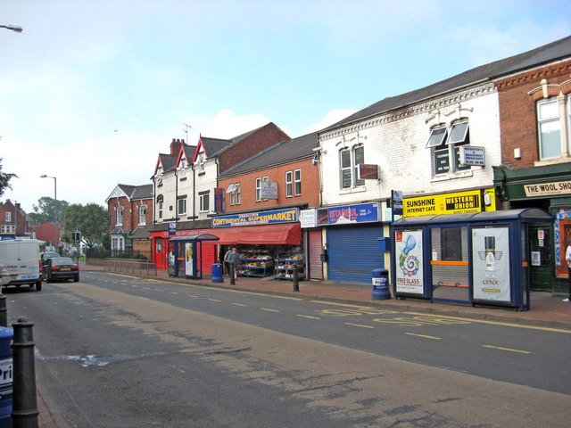
| current | 15:09, 5 August 2014 | | 640 × 480 (69 KB) | Vlad (talk | contribs) | '''High Street (C) P L Chadwick '''<br/>This part of the High Street still has buildings on both sides. However, along much of the street the buildings on one side have all been demolished, presumably to allow construction of the dual-carriageway A457.... |
File usage
The following 2 pages use this file:
_P_L_Chadwick_-_Geograph_-_2164292.jpg&oldid=382935)