File:Highden Bridge - Geograph - 3511460.jpg
Jump to navigation
Jump to search

No higher resolution available.
Highden_Bridge_-_Geograph_-_3511460.jpg (640 × 473 pixels, file size: 83 KB, MIME type: image/jpeg)
| |||||||||||||||||||||||||
|
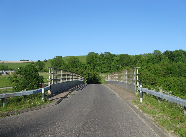
Galleries | A24 | Highden Bridge | ||
File history
Click on a date/time to view the file as it appeared at that time.
| Date/Time | Thumbnail | Dimensions | User | Comment | |
|---|---|---|---|---|---|
| current | 16:15, 20 March 2019 | | 640 × 473 (83 KB) | Jervi (talk | contribs) | '''Highden Bridge''' Opened in 1994 to allow safer access for traffic from both North Farm and Windlesham House School onto the busy A24. |
File usage
The following 3 pages use this file: