File:Highwood Road reaches Patchway - Geograph - 2155425.jpg
Jump to navigation
Jump to search

No higher resolution available.
Highwood_Road_reaches_Patchway_-_Geograph_-_2155425.jpg (640 × 492 pixels, file size: 66 KB, MIME type: image/jpeg)
| |||||||||||||||||||||||||
|
Galleries | B4057 | Bristol | Filton Bypass | ||
File history
Click on a date/time to view the file as it appeared at that time.
| Date/Time | Thumbnail | Dimensions | User | Comment | |
|---|---|---|---|---|---|
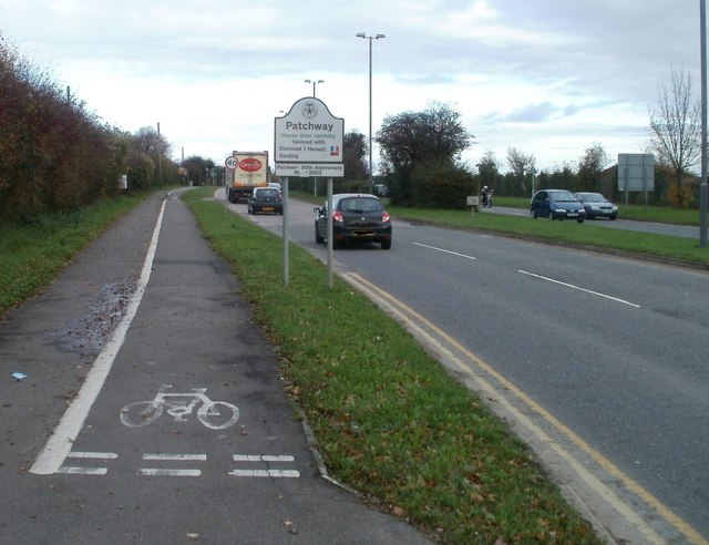
| current | 19:20, 4 October 2020 | | 640 × 492 (66 KB) | Ross spur (talk | contribs) | Highwood Road, Patchway, the remaining northern stub of the Filton Bypass of 1938 |
File usage
The following 2 pages use this file: