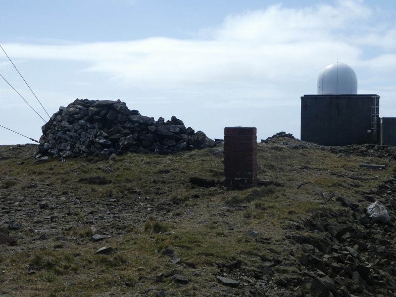
File:HirtaEndOfMainMilitaryRoadAtMullachMor.JPG
Jump to navigation
Jump to search

Size of this preview: 800 × 600 pixels. Other resolutions: 2,560 × 1,920 pixels | 4,896 × 3,672 pixels.
Original file (4,896 × 3,672 pixels, file size: 1.45 MB, MIME type: image/jpeg)
| |||||||||||||||||||||||||
|
Galleries | Hirta Roads | ||
File history
Click on a date/time to view the file as it appeared at that time.
| Date/Time | Thumbnail | Dimensions | User | Comment | |
|---|---|---|---|---|---|
| current | 14:11, 22 May 2017 | | 4,896 × 3,672 (1.45 MB) | Nwallace (talk | contribs) | Hirta End of the main millitary road at Mullacj Mor |
File usage
There are no pages that use this file.