File:Hockley Link A3090 and the Twyford Down M3 cutting - Geograph - 270606.jpg
Jump to navigation
Jump to search

No higher resolution available.
Hockley_Link_A3090_and_the_Twyford_Down_M3_cutting_-_Geograph_-_270606.jpg (640 × 480 pixels, file size: 102 KB, MIME type: image/jpeg)
| |||||||||||||||||||||||||
|
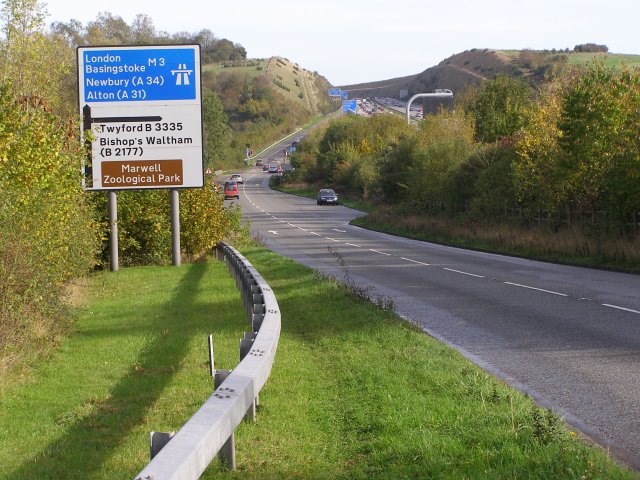
Galleries | A3090 | Hockley Cross | Advance Direction Sign | Winchester | ||
File history
Click on a date/time to view the file as it appeared at that time.
| Date/Time | Thumbnail | Dimensions | User | Comment | |
|---|---|---|---|---|---|
| current | 23:04, 12 December 2009 | | 640 × 480 (102 KB) | Johnny (talk | contribs) | {{Information |description = Hockley Link A3090 and the Twyford Down M3 cutting |day = 29 |month = 10 |year = 2006 |photographer = © Copyright [http://www.geograph.org.uk/profile/1086 Jim Champion] and licensed for reuse under [h |
File usage
The following page uses this file: