File:Holborn Circus - Geograph - 1554434.jpg
Jump to navigation
Jump to search

No higher resolution available.
Holborn_Circus_-_Geograph_-_1554434.jpg (640 × 480 pixels, file size: 67 KB, MIME type: image/jpeg)
| |||||||||||||||||||||||||
|
Galleries | A4208 | The City | S4 | Traffic Signals | ||
File history
Click on a date/time to view the file as it appeared at that time.
| Date/Time | Thumbnail | Dimensions | User | Comment | |
|---|---|---|---|---|---|
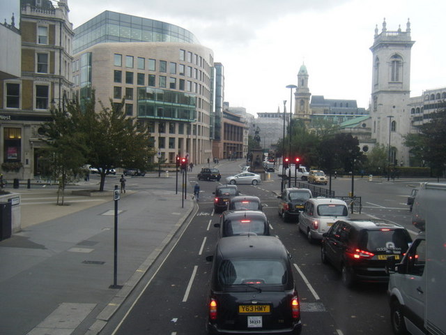
| current | 17:55, 17 July 2010 | | 640 × 480 (67 KB) | Bob@romiley1 (talk | contribs) | '''Holborn Circus'''<br/>Viewed eastwards with St Andrews Holborn on the right. |
File usage
The following 6 pages use this file: