File:Holbrook farm and the road to Aston through the valley of the River Beane - Geograph - 3452818.jpg
Jump to navigation
Jump to search

No higher resolution available.
Holbrook_farm_and_the_road_to_Aston_through_the_valley_of_the_River_Beane_-_Geograph_-_3452818.jpg (640 × 480 pixels, file size: 69 KB, MIME type: image/jpeg)
| |||||||||||||||||||||||||
|
Galleries | C29 (Hertfordshire) | Hertfordshire | ||
File history
Click on a date/time to view the file as it appeared at that time.
| Date/Time | Thumbnail | Dimensions | User | Comment | |
|---|---|---|---|---|---|
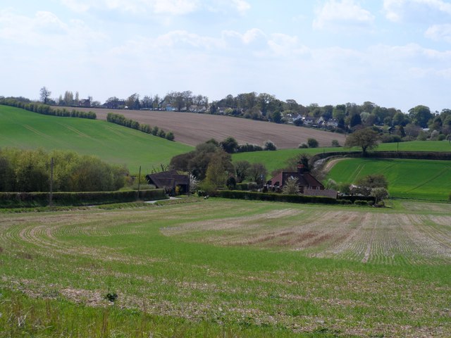
| current | 09:09, 9 March 2017 | | 640 × 480 (69 KB) | C2r (talk | contribs) | '''Holbrook farm and the road to Aston through the valley of the River Beane''' |
File usage
The following 2 pages use this file: