File:Holiday Inn, Southampton, Hampshire - Geograph - 1299228.jpg
Jump to navigation
Jump to search

No higher resolution available.
Holiday_Inn,_Southampton,_Hampshire_-_Geograph_-_1299228.jpg (640 × 426 pixels, file size: 72 KB, MIME type: image/jpeg)
| |||||||||||||||||||||||||
|
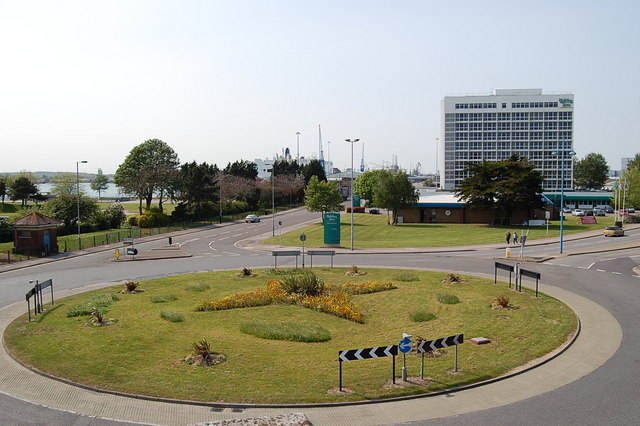
Galleries | A33 | Mayflower Roundabout | Southampton | Roundabout | ||
File history
Click on a date/time to view the file as it appeared at that time.
| Date/Time | Thumbnail | Dimensions | User | Comment | |
|---|---|---|---|---|---|
| current | 19:48, 6 September 2010 | | 640 × 426 (72 KB) | Si404 (talk | contribs) | '''Mayflower Roundabout, Southampton, Hampshire'''<br/>This view from the old town walls. On the right West Quay Road. On the left, Mayflower park and the road into the new docks. |
File usage
The following 4 pages use this file: