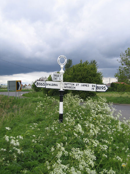
File:Holland County Council fingerpost road sign, Low Fulney, Lincs - Geograph - 172653.jpg
Jump to navigation
Jump to search

Size of this preview: 450 × 600 pixels. Other resolution: 480 × 640 pixels.
Original file (480 × 640 pixels, file size: 305 KB, MIME type: image/jpeg)
| |||||||||||||||||||||||||
|
Galleries | B1165 | B1195 | Pre-Worboys Fingerpost Signs | ||
File history
Click on a date/time to view the file as it appeared at that time.
| Date/Time | Thumbnail | Dimensions | User | Comment | |
|---|---|---|---|---|---|
| current | 15:10, 29 January 2010 | | 480 × 640 (305 KB) | Bob@romiley1 (talk | contribs) | {{Information |description = Holland County Council fingerpost road sign, Low Fulney, Lincs |day = 20 |month = 05 |year = 2006 |photographer = © Copyright [http://www.geograph.org.uk/profile/2182 Rodney Burton] and licensed for r |