 | |  |
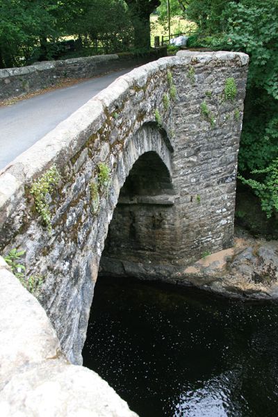
| | Description: | close up of the central arch of Holne Bridge, carrying the former A384 across the River Dart and dating back to 1413. | | Location: | 50.520882, -3.792875 | | Road: | A384, B3357 | | Date: | 28 6 2013 | | Photographer: | | | Source: | |
|
|
| |
 | |  |
File history
Click on a date/time to view the file as it appeared at that time.
| Date/Time | Thumbnail | Dimensions | User | Comment |
|---|
| current | 12:08, 3 July 2013 |  | 427 × 640 (191 KB) | Rileyrob (talk | contribs) | close up of the central arch of Holne Bridge, carrying the former A384 across the River Dart and dating back to 1413. |
File usage
The following 3 pages use this file:
This file contains additional information, probably added from the digital camera or scanner used to create or digitise it.
If the file has been modified from its original state, some details may not fully reflect the modified file.
