File:Horseley Fields - Geograph - 2908647.jpg
Jump to navigation
Jump to search

Size of this preview: 450 × 600 pixels. Other resolution: 480 × 640 pixels.
Original file (480 × 640 pixels, file size: 71 KB, MIME type: image/jpeg)
| |||||||||||||||||||||||||
|
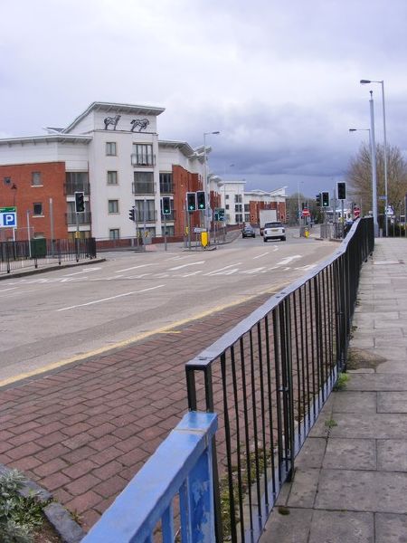
Galleries | A454 | Horseley Fields Junction | Wolverhampton | ||
File history
Click on a date/time to view the file as it appeared at that time.
| Date/Time | Thumbnail | Dimensions | User | Comment | |
|---|---|---|---|---|---|
| current | 08:49, 5 August 2016 | | 480 × 640 (71 KB) | Steven (talk | contribs) | '''Horseley Fields''' The view down the A454 off A4150 Ring Road St Davids. |
File usage
The following 3 pages use this file: