File:Horsemarket Street, Warrington - Geograph - 4313214.jpg
Jump to navigation
Jump to search

No higher resolution available.
Horsemarket_Street,_Warrington_-_Geograph_-_4313214.jpg (640 × 360 pixels, file size: 66 KB, MIME type: image/jpeg)
| |||||||||||||||||||||||||
|
Galleries | A49 | Warrington | ||
File history
Click on a date/time to view the file as it appeared at that time.
| Date/Time | Thumbnail | Dimensions | User | Comment | |
|---|---|---|---|---|---|
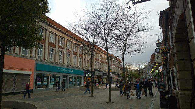
| current | 16:00, 22 June 2016 | | 640 × 360 (66 KB) | M4simon (talk | contribs) | '''Horsemarket Street, Warrington''' A view down the former A49, Horsemarket Street in Warrington town centre, Cheshire, England. |
File usage
The following page uses this file: