File:House on R267 Donegal Road - Geograph - 1124569.jpg
Jump to navigation
Jump to search

No higher resolution available.
House_on_R267_Donegal_Road_-_Geograph_-_1124569.jpg (640 × 480 pixels, file size: 97 KB, MIME type: image/jpeg)
| |||||||||||||||||||||||||
|
Galleries | R267 | Wild Atlantic Way | ||
File history
Click on a date/time to view the file as it appeared at that time.
| Date/Time | Thumbnail | Dimensions | User | Comment | |
|---|---|---|---|---|---|
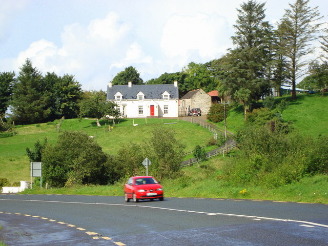
| current | 10:11, 10 June 2014 | | 640 × 480 (97 KB) | Viator (talk | contribs) | Not long after leaving the Tullyearl roundabout heading for Donegal Town, this house can been seen above the road |
File usage
The following page uses this file: