File:Houses at Hetton le Hill - Geograph - 2913928.jpg
Jump to navigation
Jump to search

No higher resolution available.
Houses_at_Hetton_le_Hill_-_Geograph_-_2913928.jpg (640 × 480 pixels, file size: 65 KB, MIME type: image/jpeg)
| |||||||||||||||||||||||||
|
Galleries | C524 (Sunderland) | ||
File history
Click on a date/time to view the file as it appeared at that time.
| Date/Time | Thumbnail | Dimensions | User | Comment | |
|---|---|---|---|---|---|
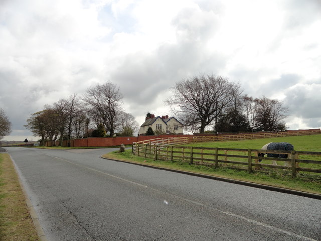
| current | 11:12, 2 March 2018 | | 640 × 480 (65 KB) | Gc a690 (talk | contribs) | '''Houses at Hetton le Hill''' View from Elemore Lane, looking East. |
File usage
The following 2 pages use this file: