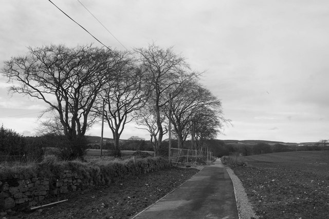
File:Howes Road cycle path - Geograph - 1195039.jpg
Jump to navigation
Jump to search

No higher resolution available.
Howes_Road_cycle_path_-_Geograph_-_1195039.jpg (640 × 426 pixels, file size: 65 KB, MIME type: image/jpeg)
| |||||||||||||||||||||||||
|
Galleries | B984 (Mastrick - Bucksburn) | Pictures from Geograph | ||
File history
Click on a date/time to view the file as it appeared at that time.
| Date/Time | Thumbnail | Dimensions | User | Comment | |
|---|---|---|---|---|---|
| current | 11:37, 2 February 2014 | | 640 × 426 (65 KB) | Viator (talk | contribs) | Howes Road cycle path - part of the former B984 |
File usage
The following 2 pages use this file: