No higher resolution available.
File history
Click on a date/time to view the file as it appeared at that time.
| Date/Time | Thumbnail | Dimensions | User | Comment |
|---|
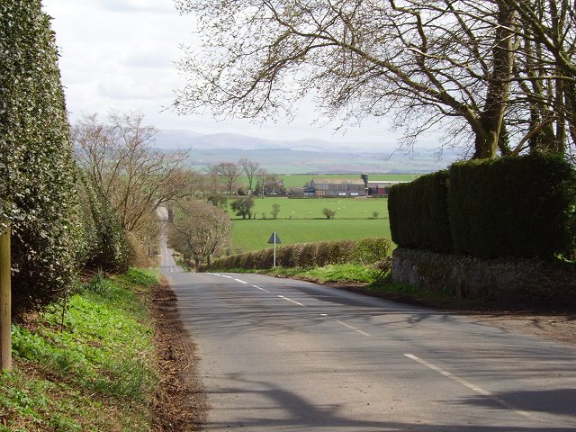
| current | 16:09, 10 April 2010 |  | 640 × 480 (108 KB) | Bob@romiley1 (talk | contribs) | '''Hume Brae'''<br/>Long straight of the B6364 running down from Hume. The Cheviot Hills in the distance , beyond the Tweed. |
File usage
The following 2 pages use this file:
This file contains additional information, probably added from the digital camera or scanner used to create or digitise it.
If the file has been modified from its original state, some details may not fully reflect the modified file.
