File:Hunningham river bridge - Geograph - 1852498.jpg
Jump to navigation
Jump to search

No higher resolution available.
Hunningham_river_bridge_-_Geograph_-_1852498.jpg (640 × 480 pixels, file size: 102 KB, MIME type: image/jpeg)
| |||||||||||||||||||||||||
|
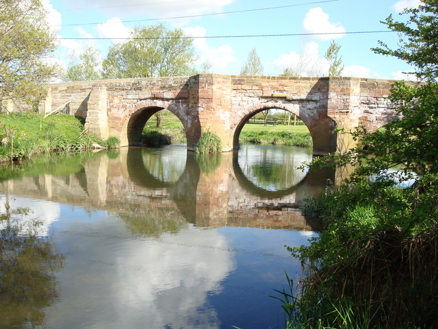
Galleries | Hunningham Bridge | Pictures from Geograph | ||
File history
Click on a date/time to view the file as it appeared at that time.
| Date/Time | Thumbnail | Dimensions | User | Comment | |
|---|---|---|---|---|---|
| current | 11:14, 6 January 2021 | | 640 × 480 (102 KB) | C2r (talk | contribs) | '''Hunningham river bridge''' A view of the river bridge over the River Leam looking upstream at Hunningham, Warwickshire |
File usage
The following 2 pages use this file: