File:Hylton Grange Interchange Sunderland - Geograph - 1673548.jpg
Jump to navigation
Jump to search

No higher resolution available.
Hylton_Grange_Interchange_Sunderland_-_Geograph_-_1673548.jpg (640 × 413 pixels, file size: 57 KB, MIME type: image/jpeg)
| |||||||||||||||||||||||||
|
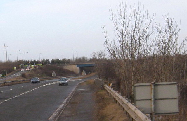
Galleries | A19 | A1231 | A108 (Seaham - Seaton Burn) | Hylton Grange Interchange | Sunderland | ||
File history
Click on a date/time to view the file as it appeared at that time.
| Date/Time | Thumbnail | Dimensions | User | Comment | |
|---|---|---|---|---|---|
| current | 15:04, 12 October 2017 | | 640 × 413 (57 KB) | Gc a690 (talk | contribs) | Hylton Grange Interchange viewed from the A19 |
File usage
The following page uses this file: