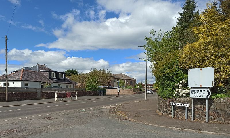
Flood gate on the A78 at the north side of Largs. The concealed sign on the right possibly indicates the diversion route (via Routenburn Road) when it is in use.
Flood gate on the A78 at the north side of Largs. The concealed sign on the right possibly indicates the diversion route (via Routenburn Road) when it is in use.
