File:Ilfracombe-1953.jpg
Jump to navigation
Jump to search

No higher resolution available.
Ilfracombe-1953.jpg (668 × 482 pixels, file size: 132 KB, MIME type: image/jpeg)
| |||||||||||||||||||||||||
|
Galleries | A361 | A399 | B3231 | B3230 | OS One Inch | ||
File history
Click on a date/time to view the file as it appeared at that time.
| Date/Time | Thumbnail | Dimensions | User | Comment | |
|---|---|---|---|---|---|
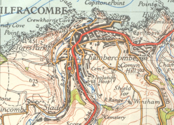
| current | 18:23, 28 November 2009 | | 668 × 482 (132 KB) | Rileyrob (talk | contribs) | {{Information |description = Ilfracombe in 1953, showing the B3231 reaching the town! |day = |month = |year = 1953 |photographer = |source = OS NPE Sheet 163 |road = A361 |road2 = A399 |road3 = B3231 |
File usage
The following page uses this file: