File:Image243 - St Lawrence Inn, Ventnor Isle of Wight 50.5852023N 1.2478928W.jpg
Jump to navigation
Jump to search

Size of this preview: 800 × 534 pixels. Other resolution: 1,518 × 1,014 pixels.
Original file (1,518 × 1,014 pixels, file size: 556 KB, MIME type: image/jpeg)
| |||||||||||||||||||||||||
|
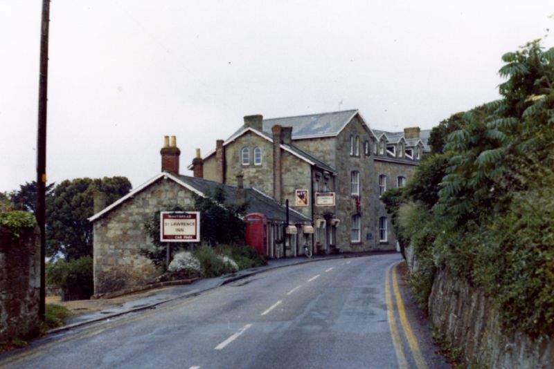
Galleries | A3055 | Images by C2r | Isle of Wight | Roadside Inn | ||
File history
Click on a date/time to view the file as it appeared at that time.
| Date/Time | Thumbnail | Dimensions | User | Comment | |
|---|---|---|---|---|---|
| current | 10:32, 14 February 2016 | | 1,518 × 1,014 (556 KB) | C2r (talk | contribs) | St Lawrence Inn, Ventnor, Isle of Wight - Early 1970s |
File usage
There are no pages that use this file.