File:Imh200486 A23 Handcross Hill.jpg
Jump to navigation
Jump to search
Size of this preview: 800 × 533 pixels. Other resolution: 1,296 × 864 pixels.
Original file (1,296 × 864 pixels, file size: 436 KB, MIME type: image/jpeg)
| |||||||||||||||||||||||||
|
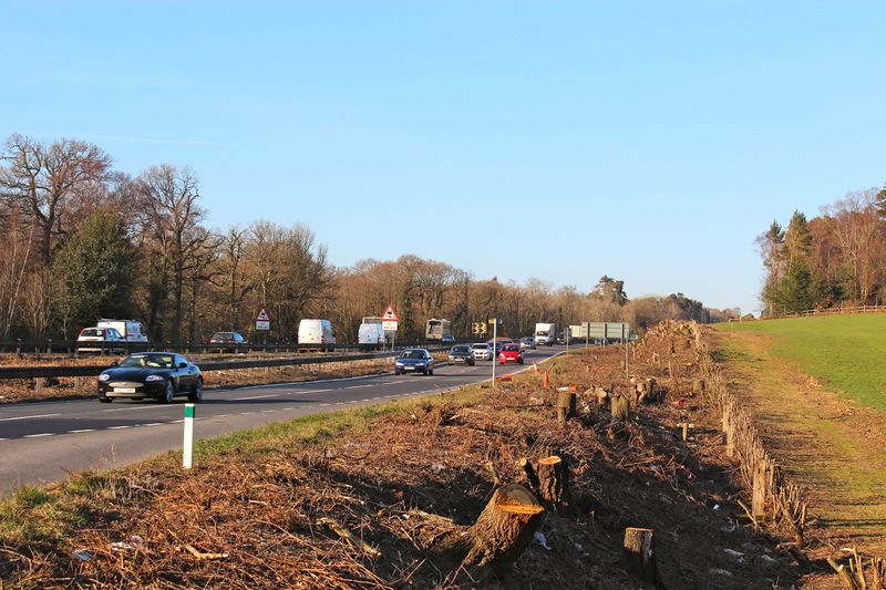
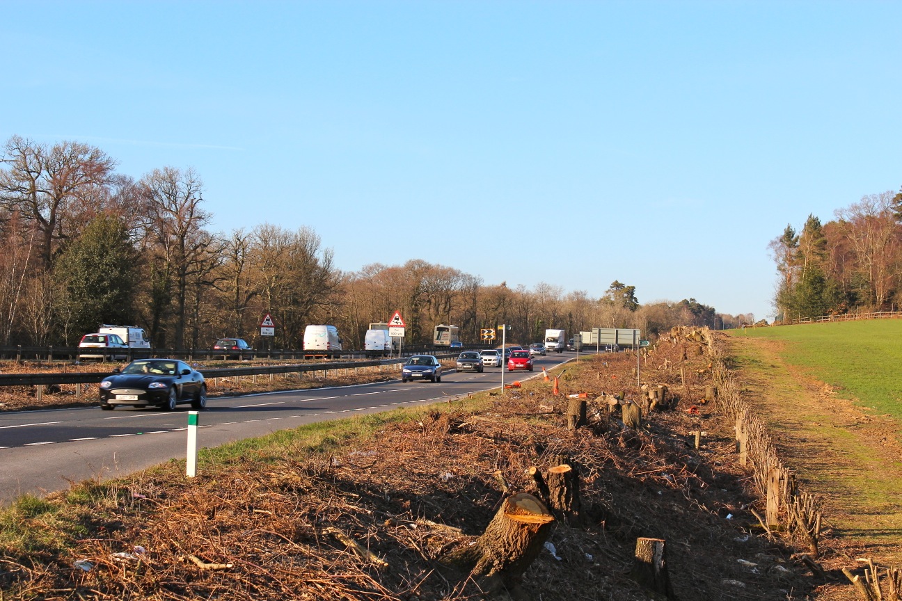
Galleries | A23 | A23/Handcross - Warninglid | Roadworks | ||
File history
Click on a date/time to view the file as it appeared at that time.
| Date/Time | Thumbnail | Dimensions | User | Comment | |
|---|---|---|---|---|---|
| current | 23:02, 12 February 2012 | | 1,296 × 864 (436 KB) | Greenbeyer (talk | contribs) | S-bends looking north uphill from Staplefield Road. |
File usage
There are no pages that use this file.