File:Inchinnan Road, Paisley - Geograph - 4978624.jpg
Jump to navigation
Jump to search

No higher resolution available.
Inchinnan_Road,_Paisley_-_Geograph_-_4978624.jpg (640 × 480 pixels, file size: 55 KB, MIME type: image/jpeg)
| |||||||||||||||||||||||||
|
Galleries | C7 (Renfrewshire) | Paisley | ||
File history
Click on a date/time to view the file as it appeared at that time.
| Date/Time | Thumbnail | Dimensions | User | Comment | |
|---|---|---|---|---|---|
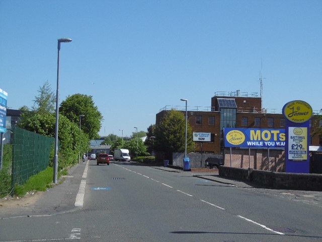
| current | 21:01, 2 July 2021 | | 640 × 480 (55 KB) | Tam nugent (talk | contribs) | '''Inchinnan Road, Paisley''' Heading northwards through light industrial land to the airport. The White Cart Viaduct can be seen in the distance. |
File usage
There are no pages that use this file.