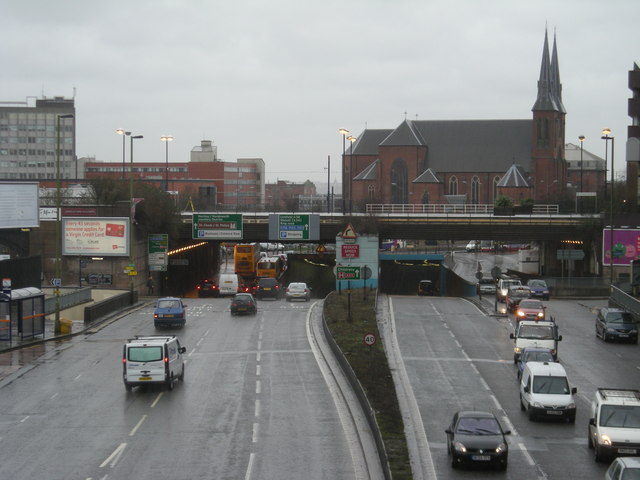
File:Inner Ring road & St Chad's RC Cathedral - Geograph - 655618.jpg
Jump to navigation
Jump to search

No higher resolution available.
Inner_Ring_road_&_St_Chad's_RC_Cathedral_-_Geograph_-_655618.jpg (640 × 480 pixels, file size: 60 KB, MIME type: image/jpeg)
| |||||||||||||||||||||||||
|
Galleries | A38 | A4400 | Birmingham | Queensway Tunnel (Birmingham) | Warwickshire | ||
File history
Click on a date/time to view the file as it appeared at that time.
| Date/Time | Thumbnail | Dimensions | User | Comment | |
|---|---|---|---|---|---|
| current | 22:21, 14 December 2009 | | 640 × 480 (60 KB) | Jeni (talk | contribs) | {{Information |description = Inner Ring road & St Chad's RC Cathedral |day = 10 |month = 01 |year = 2008 |photographer = © Copyright [http://www.geograph.org.uk/profile/17899 Row17] and licensed for reuse under [http://creativeco |
File usage
The following 5 pages use this file: