File:Inverness-1936.jpg
Jump to navigation
Jump to search

Size of this preview: 737 × 600 pixels.
Original file (800 × 651 pixels, file size: 369 KB, MIME type: image/jpeg)
| |||||||||||||||||||||||||
|
Galleries | A9/Aviemore - Tore | A82/Loch Ness | A96 | Inverness | Kessock Bridge | Bartholomews Mapping | B9161 | B9162 | B862 | ||
File history
Click on a date/time to view the file as it appeared at that time.
| Date/Time | Thumbnail | Dimensions | User | Comment | |
|---|---|---|---|---|---|
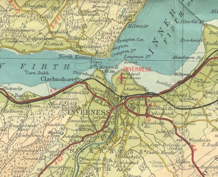
| current | 21:07, 19 December 2009 | | 800 × 651 (369 KB) | Rileyrob (talk | contribs) | {{Information |description = Inverness in 1936 |day = |month = |year = 1936 |photographer = |source = Barts Half Inch Sheet 20/21 (L1) |road = A9 |road2 = A82 |road3 = A96 |lat = 57.4748659 |