File:Irlam, milestone - Geograph - 1137460.jpg
Jump to navigation
Jump to search

Size of this preview: 450 × 600 pixels. Other resolution: 480 × 640 pixels.
Original file (480 × 640 pixels, file size: 66 KB, MIME type: image/jpeg)
| |||||||||||||||||||||||||
|
Galleries | B5320 (Irlam - Cadished) | S2 | ||
File history
Click on a date/time to view the file as it appeared at that time.
| Date/Time | Thumbnail | Dimensions | User | Comment | |
|---|---|---|---|---|---|
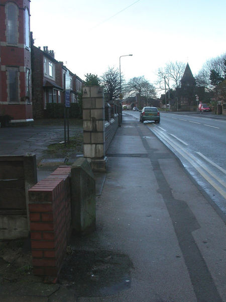
| current | 14:12, 26 March 2010 | | 480 × 640 (66 KB) | Bob@romiley1 (talk | contribs) | '''Irlam, milestone'''<br/>Milestone on Liverpool Road, once A57, now B5320, in front of St Paul's Methodist Church. Legend reads: IRLAM//9/MILES/TO/WARRINGTON//9/MILES/TO/MANCHESTER. Erected by Lancashire County Council, late C19 or early C20. |
File usage
The following 2 pages use this file: