File:Jameson Street, Hull (C) David Wright - Geograph - 835339.jpg
Jump to navigation
Jump to search

No higher resolution available.
Jameson_Street,_Hull_(C)_David_Wright_-_Geograph_-_835339.jpg (640 × 480 pixels, file size: 123 KB, MIME type: image/jpeg)
| |||||||||||||||||||||||||
|
Galleries | A1163 | B1235 | unclassified | Kingston upon Hull | ||
File history
Click on a date/time to view the file as it appeared at that time.
| Date/Time | Thumbnail | Dimensions | User | Comment | |
|---|---|---|---|---|---|
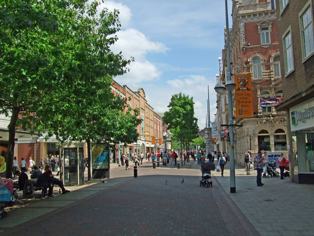
| current | 14:02, 8 June 2014 | | 640 × 480 (123 KB) | Vlad (talk | contribs) | '''Jameson Street, Hull (C) David Wright '''<br/>This part of Jameson Street is pedestrianised. |
File usage
The following 5 pages use this file:
_David_Wright_-_Geograph_-_835339.jpg&oldid=398480)