File:Junction 14, A74(M) - Geograph - 1032469.jpg
Jump to navigation
Jump to search

No higher resolution available.
Junction_14,_A74(M)_-_Geograph_-_1032469.jpg (640 × 480 pixels, file size: 99 KB, MIME type: image/jpeg)
| |||||||||||||||||||||||||
|
Galleries | A74(M) | A702 | Clyde Valley Tourist Route | Crawford and Elvanfoot Interchanges | South West Coastal 300 | ||
File history
Click on a date/time to view the file as it appeared at that time.
| Date/Time | Thumbnail | Dimensions | User | Comment | |
|---|---|---|---|---|---|
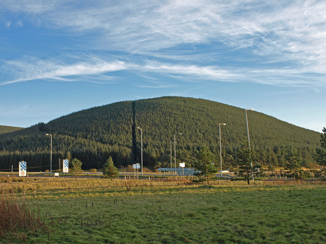
| current | 16:56, 20 August 2016 | | 640 × 480 (99 KB) | Si404 (talk | contribs) | '''Junction 14, A74(M)''' Looking over the junction of the A74(M) to the heavily forested Wellshot Hill. |
File usage
There are no pages that use this file.
_-_Geograph_-_1032469.jpg&oldid=506083)