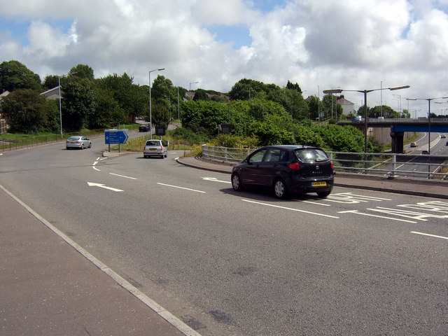
File:Junction 44 of the M4 - Geograph - 905586.jpg
Jump to navigation
Jump to search

No higher resolution available.
Junction_44_of_the_M4_-_Geograph_-_905586.jpg (640 × 480 pixels, file size: 89 KB, MIME type: image/jpeg)
| |||||||||||||||||||||||||
|
Galleries | M4 | A48 | A4230 | Lon-Las Interchange | M4 Morriston Bypass | ||
File history
Click on a date/time to view the file as it appeared at that time.
| Date/Time | Thumbnail | Dimensions | User | Comment | |
|---|---|---|---|---|---|
| current | 13:50, 30 December 2009 | | 640 × 480 (89 KB) | Jeni (talk | contribs) | {{Information |description = Junction 44 of the M4 |day = 01 |month = 08 |year = 2008 |photographer = © Copyright [http://www.geograph.org.uk/profile/4821 Kevin Flynn] and licensed for reuse under [http://creativecommons.org/lice |
File usage
The following 4 pages use this file: