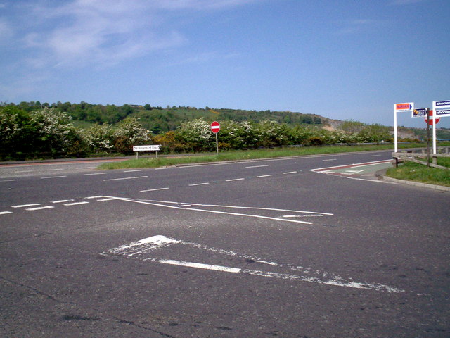
File:Junction of A2 Dual Carriageway with Old Warrenpoint Road, Newry - Geograph - 800109.jpg
Jump to navigation
Jump to search

No higher resolution available.
Junction_of_A2_Dual_Carriageway_with_Old_Warrenpoint_Road,_Newry_-_Geograph_-_800109.jpg (640 × 480 pixels, file size: 74 KB, MIME type: image/jpeg)
| |||||||||||||||||||||||||
|
Galleries | A2 (Northern Ireland) | T15 (Northern Ireland) | Mourne Coastal Route | Newry | ||
File history
Click on a date/time to view the file as it appeared at that time.
| Date/Time | Thumbnail | Dimensions | User | Comment | |
|---|---|---|---|---|---|
| current | 13:56, 11 March 2011 | | 640 × 480 (74 KB) | Si404 (talk | contribs) | Junction of A2 Dual Carriageway with Old Warrenpoint Road, Newry |
File usage
The following 3 pages use this file: