File:Junction of Eglinton Terrace and Shore Road - Geograph - 4147559.jpg
Jump to navigation
Jump to search

No higher resolution available.
Junction_of_Eglinton_Terrace_and_Shore_Road_-_Geograph_-_4147559.jpg (640 × 480 pixels, file size: 41 KB, MIME type: image/jpeg)
| |||||||||||||||||||||||||
|
Galleries | A78 | A78/Flood Gates | ||
File history
Click on a date/time to view the file as it appeared at that time.
| Date/Time | Thumbnail | Dimensions | User | Comment | |
|---|---|---|---|---|---|
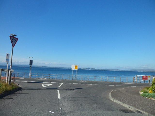
| current | 08:47, 26 May 2021 | | 640 × 480 (41 KB) | Tam nugent (talk | contribs) | '''Junction of Eglinton Terrace and Shore Road''' The flood gate and semi-concealed "Diversion Ends" sign on the A78 can be seen. The diversion sign no longer exists at the time of writing (May 2021). |
File usage
There are no pages that use this file.