File:Junction of Queen Victoria and Watling Streets - Geograph - 881920.jpg
Jump to navigation
Jump to search

No higher resolution available.
Junction_of_Queen_Victoria_and_Watling_Streets_-_Geograph_-_881920.jpg (640 × 480 pixels, file size: 82 KB, MIME type: image/jpeg)
| |||||||||||||||||||||||||
|
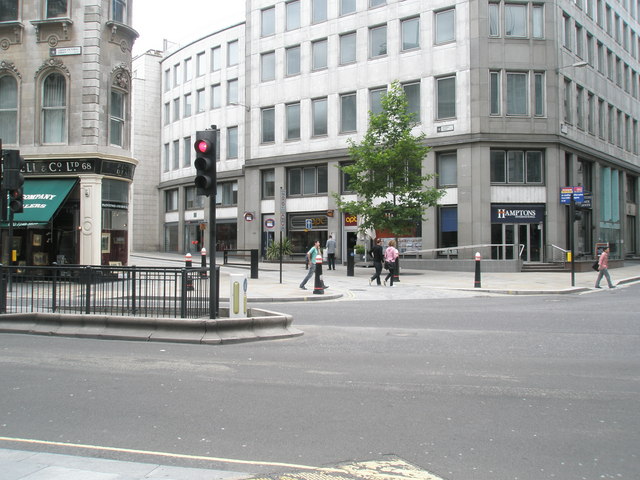
Galleries | Watling Street | The City | Central London | ||
File history
Click on a date/time to view the file as it appeared at that time.
| Date/Time | Thumbnail | Dimensions | User | Comment | |
|---|---|---|---|---|---|
| current | 14:38, 29 July 2010 | | 640 × 480 (82 KB) | Si404 (talk | contribs) | Junction of Queen Victoria and Watling Streets |
File usage
There are no pages that use this file.