File:Junction of Queen and Upper Thames Streets - Geograph - 881758.jpg
Jump to navigation
Jump to search

No higher resolution available.
Junction_of_Queen_and_Upper_Thames_Streets_-_Geograph_-_881758.jpg (640 × 480 pixels, file size: 76 KB, MIME type: image/jpeg)
| |||||||||||||||||||||||||
|
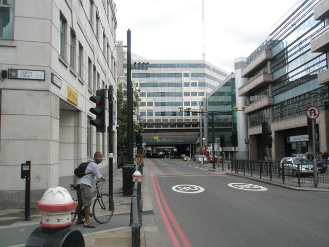
Galleries | A300 | A3211 | The City | Cycle Lane | ||
File history
Click on a date/time to view the file as it appeared at that time.
| Date/Time | Thumbnail | Dimensions | User | Comment | |
|---|---|---|---|---|---|
| current | 14:34, 29 July 2010 | | 640 × 480 (76 KB) | Si404 (talk | contribs) | Junction of Queen and Upper Thames Streets |
File usage
The following page uses this file: