File:Junction of School Green Road and Tennyson Road, Freshwater - Geograph - 1379577.jpg
Jump to navigation
Jump to search

No higher resolution available.
Junction_of_School_Green_Road_and_Tennyson_Road,_Freshwater_-_Geograph_-_1379577.jpg (640 × 426 pixels, file size: 184 KB, MIME type: image/jpeg)
| |||||||||||||||||||||||||
|
Galleries | A3055 | Isle of Wight | ||
File history
Click on a date/time to view the file as it appeared at that time.
| Date/Time | Thumbnail | Dimensions | User | Comment | |
|---|---|---|---|---|---|
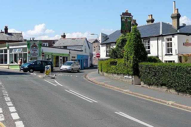
| current | 12:19, 22 April 2010 | | 640 × 426 (184 KB) | Si404 (talk | contribs) | '''Junction of School Green Road and Tennyson Road, Freshwater'''<br/>There is a fish and chip shop on the corner called "Rainbow". Presumably they sell trout. |
File usage
The following page uses this file: