File:Junction of the A127 and B1013, Prittlewell - Geograph - 2959993.jpg
Jump to navigation
Jump to search

No higher resolution available.
Junction_of_the_A127_and_B1013,_Prittlewell_-_Geograph_-_2959993.jpg (640 × 480 pixels, file size: 51 KB, MIME type: image/jpeg)
| |||||||||||||||||||||||||
|
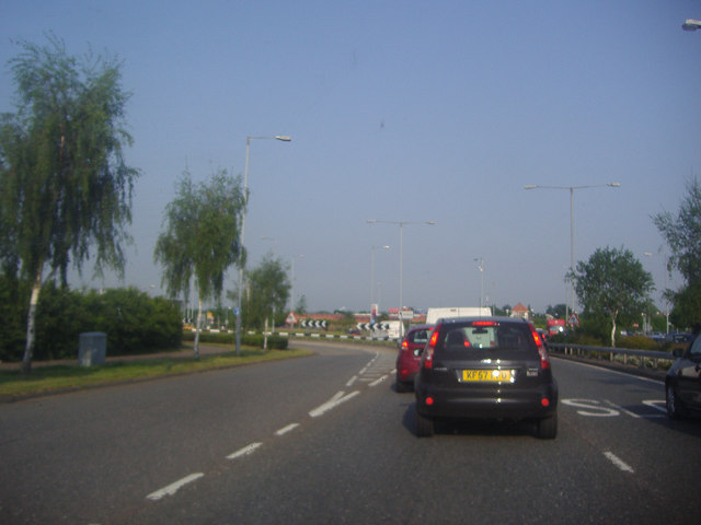
Galleries | Prince Avenue | D2 | A127 | ||
File history
Click on a date/time to view the file as it appeared at that time.
| Date/Time | Thumbnail | Dimensions | User | Comment | |
|---|---|---|---|---|---|
| current | 18:05, 3 December 2012 | | 640 × 480 (51 KB) | Davidnw9 (talk | contribs) | Junction of the A127 and B1013, Prittlewell |
File usage
There are no pages that use this file.