File:Junction of the A16 and A155 - Geograph - 443650.jpg
Jump to navigation
Jump to search

No higher resolution available.
Junction_of_the_A16_and_A155_-_Geograph_-_443650.jpg (640 × 480 pixels, file size: 93 KB, MIME type: image/jpeg)
| |||||||||||||||||||||||||
|
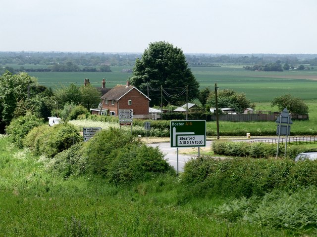
Galleries | A16 | A155 | S2 | Keal Hill Junction | ||
File history
Click on a date/time to view the file as it appeared at that time.
| Date/Time | Thumbnail | Dimensions | User | Comment | |
|---|---|---|---|---|---|
| current | 18:18, 26 August 2010 | | 640 × 480 (93 KB) | Bob@romiley1 (talk | contribs) | '''Junction of the A16(T) and A155'''<br/>The A16(T) is the Boston to Grimsby road and the A155 heads towards Coningsby. |
File usage
The following 7 pages use this file:
_and_A155_-_Geograph_-_443650.jpg&redirect=no)