File:Junction of the B245 & A227 in North Tonbridge - Geograph - 1032362.jpg
Jump to navigation
Jump to search

No higher resolution available.
Junction_of_the_B245_&_A227_in_North_Tonbridge_-_Geograph_-_1032362.jpg (640 × 430 pixels, file size: 64 KB, MIME type: image/jpeg)
| |||||||||||||||||||||||||
|
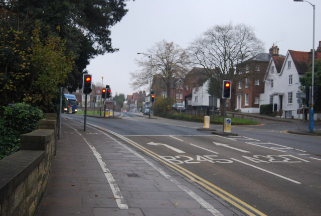
Galleries | B245 | A227 | Heart of Kent Country Tour | S2 | Traffic Signals | ||
File history
Click on a date/time to view the file as it appeared at that time.
| Date/Time | Thumbnail | Dimensions | User | Comment | |
|---|---|---|---|---|---|
| current | 14:37, 18 December 2009 | | 640 × 430 (64 KB) | Bob@romiley1 (talk | contribs) | {{Information |description = Junction of the B245 & A227 in North Tonbridge |day = 03 |month = 11 |year = 2008 |photographer = © Copyright [http://www.geograph.org.uk/profile/3101 Nigel Chadwick] and licensed for reuse under [htt |
File usage
The following 3 pages use this file: