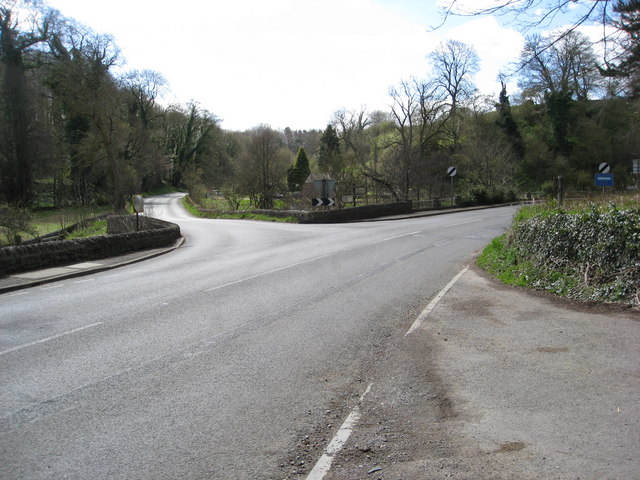
File:Junction of the B5056 and Alport Lane - Geograph - 1241597.jpg
Jump to navigation
Jump to search

No higher resolution available.
Junction_of_the_B5056_and_Alport_Lane_-_Geograph_-_1241597.jpg (640 × 480 pixels, file size: 88 KB, MIME type: image/jpeg)
| |||||||||||||||||||||||||
|
Galleries | B5056 | A524 (Fenny Bentley - Rowsley) | S2 | ||
File history
Click on a date/time to view the file as it appeared at that time.
| Date/Time | Thumbnail | Dimensions | User | Comment | |
|---|---|---|---|---|---|
| current | 18:15, 21 March 2010 | | 640 × 480 (88 KB) | Bob@romiley1 (talk | contribs) | Junction of the B5056 and Alport Lane |
File usage
The following 2 pages use this file: