File:Junction on the A36 - Geograph - 954790.jpg
Jump to navigation
Jump to search

No higher resolution available.
Junction_on_the_A36_-_Geograph_-_954790.jpg (640 × 447 pixels, file size: 81 KB, MIME type: image/jpeg)
| |||||||||||||||||||||||||
|
Galleries | A36 | A3098 | A36 Named Junctions | S2 | Dead Maids | ||
File history
Click on a date/time to view the file as it appeared at that time.
| Date/Time | Thumbnail | Dimensions | User | Comment | |
|---|---|---|---|---|---|
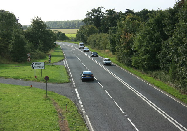
| current | 10:48, 9 September 2010 | | 640 × 447 (81 KB) | Bob@romiley1 (talk | contribs) | '''Junction on the A36'''<br/>As a complete contrast to <a href="http://www.geograph.org.uk/photo/954787">ST8348 : Approach to Short Street</a> we now see the A36 on its way to Warminster and Salisbury. The junction below leads up to the A3098.<br /> Tak |
File usage
The following 5 pages use this file: